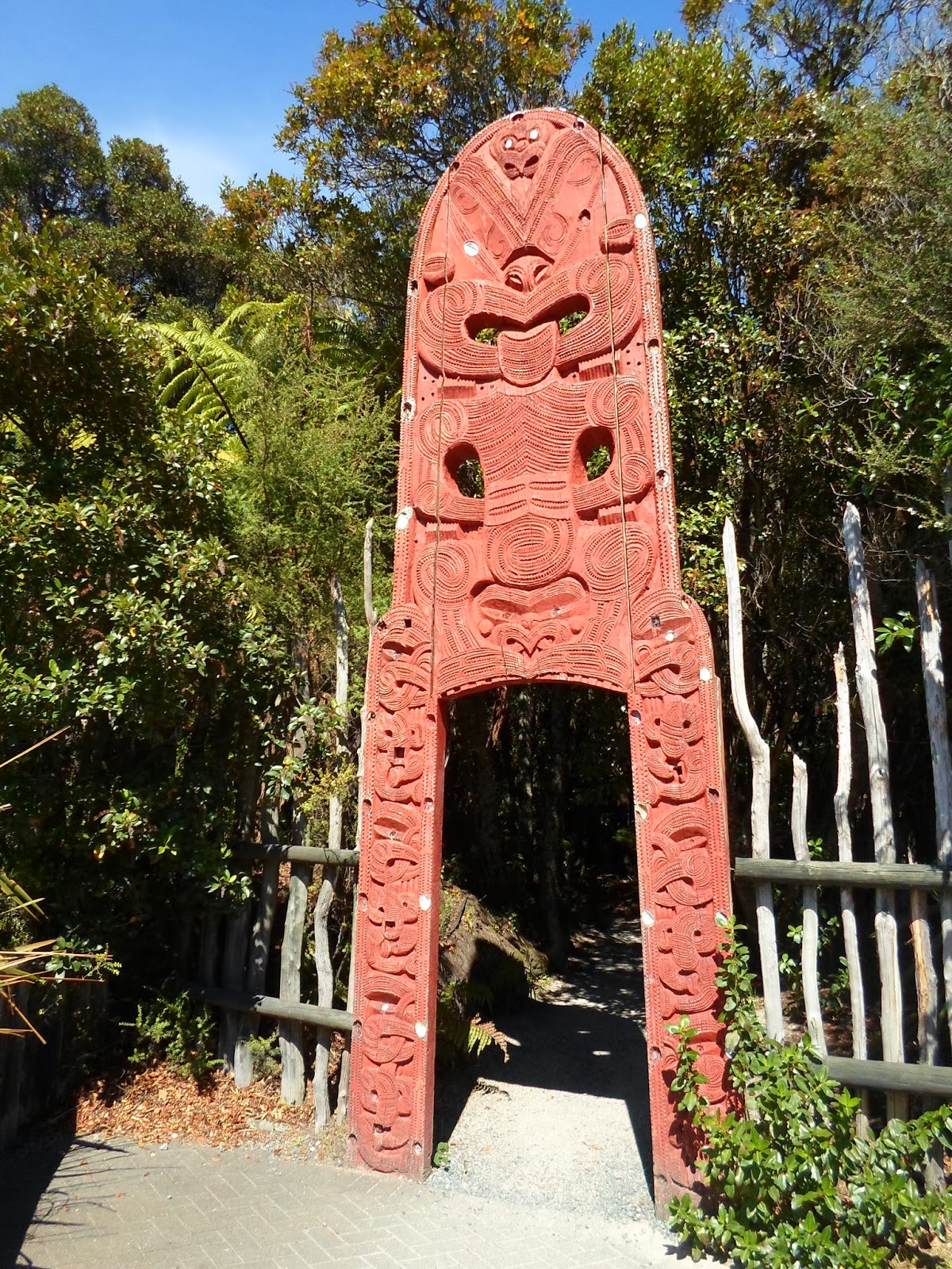
My dear brother and I had the week of a lifetime road-tripping the South Island. We drove 1,500 kilometers in 5 days. "We" being me driving and him keeping me company, and perfecting his ability to see good photo opportunities and snap the picture before it was too late :)
We saw mountains and beaches, gorges and farmland. We took a ferry, drove a car, and flew in a plane. We got lost and we found beauty, adventure, and moments that are impossible to share with someone who wasn't there.
We flew down to the capital city of Wellington and took a half a day to do a bit of exploring there. Since I'd been before I knew some good places for us to check out. Monday afternoon we made out way to the ferry dock for the three and a half hour trip across Cook Strait to the South Island. We docked in Picton, got some supper and settled into our hostel for the night so we could get an early start the next day.
 |
| Cook Strait |
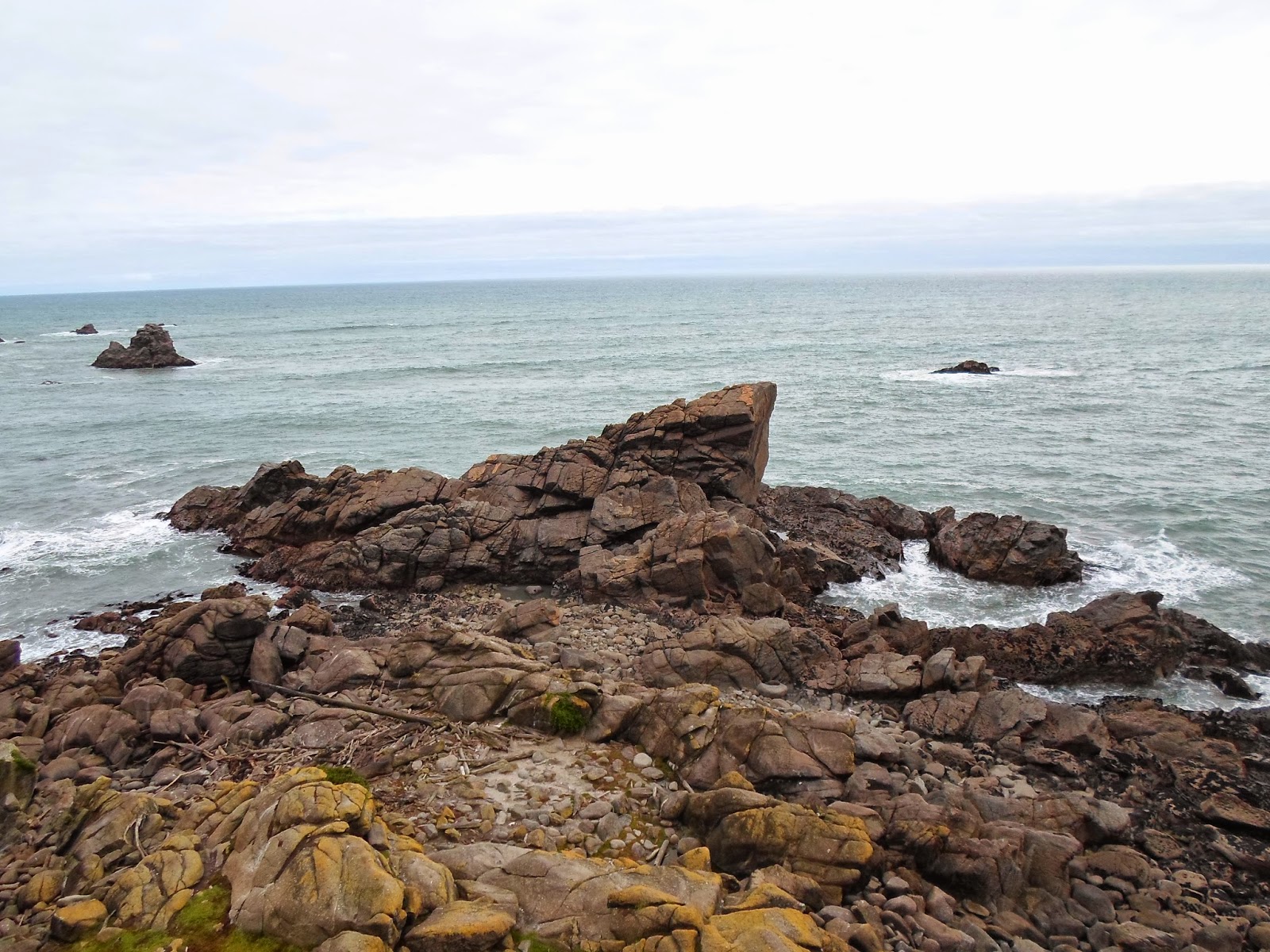
Tuesday morning we picked up our car and off we went. First destination: Westport. We didn't spend too much time in Westport intself, because we had our sights set on things outside of town. We visited a seal colony (unfortunately it was a bit rainy so there weren't too many out), trekked around the coastline out to a seal colony, and a historic gold mine. Then we headed a bit further South to the Pancake Rocks, something that has been on my list since not long after arriving in New Zealand. We spent that night in a town called Hokitika, which I picked because it had a cool name :)
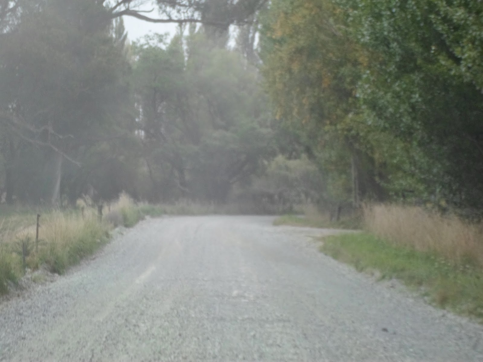 |
| As we were driving to Westport, the state highway randomly turned into a gravel road for awhile |
 |
| Seal colony |
 |
| Cape Foulwind |
 |
| Pancake rocks! |
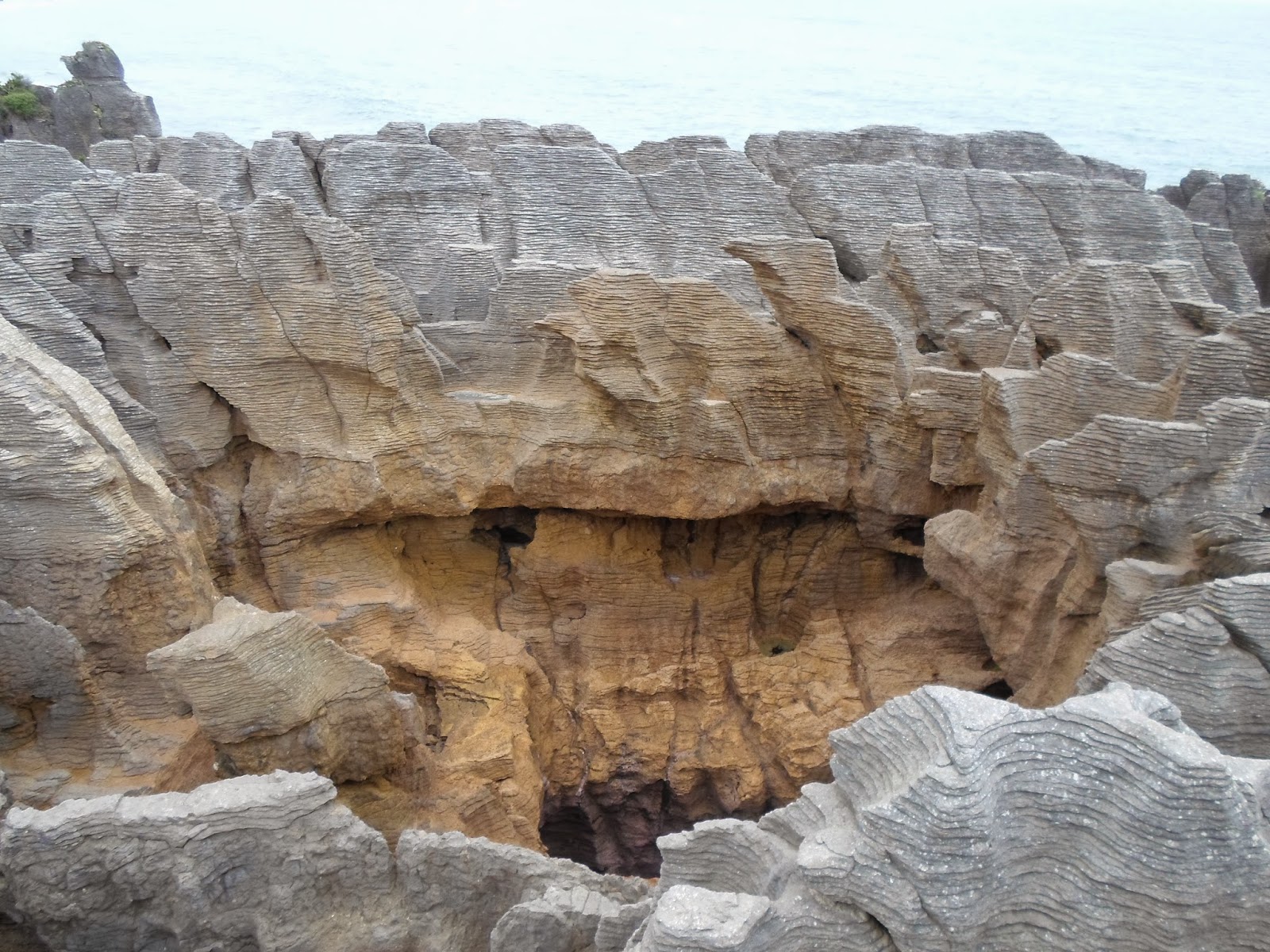 |
| Punakaiki is the Maori name |
We had another early start on Wednesday, beginning with breakfast at a cute little cafe. We took some time to look around town before heading off, enjoying some beach combing and shopping for jade items. First stop along the road was the Hokitika gorge, which has turquoise water. I have never seen anything like it, and as gorgeous as the pictures are, they hardly do it justice. A ways down the road, we stopped in the historic gold-mining town of Ross, where we explored some walking trails, and met a local musician who gave us a discount on one of his CDs because he was so delighted to meet some American musicians! Final stop of the day: Franz Josef glacier. We parked the car, tightened our shoelaces, and headed off on a nice hike to the glacier. For safety purposes, we could only go where you could see just the bottom of the glacier, but it was cool, no pun intended of course :) If you have the time and money, you can get a helicopter ride up to the top of the glacier. Maybe next time... We had planned to drive to Wanaka for the night but had to spend the night in Haast instead, because the highway had closed due to falling rocks.
 |
| Hokitika Beach |
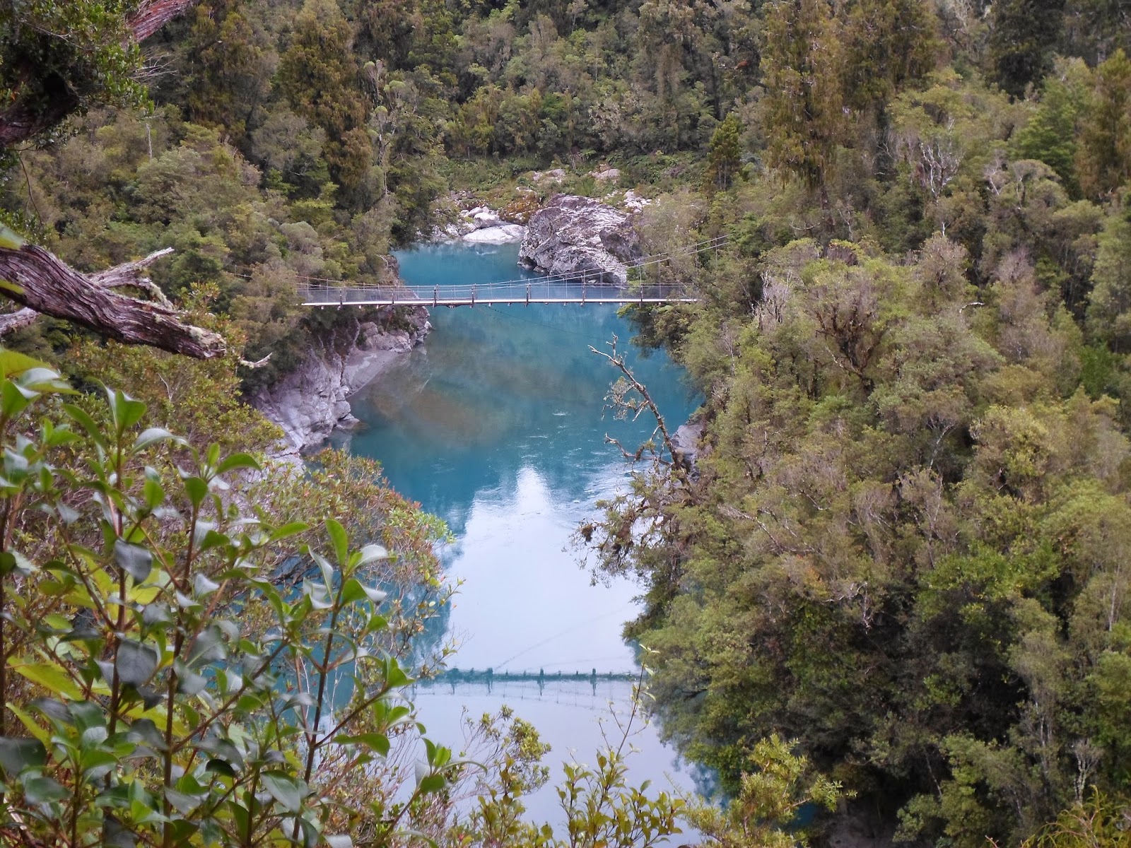 |
| Hokitika gorge |
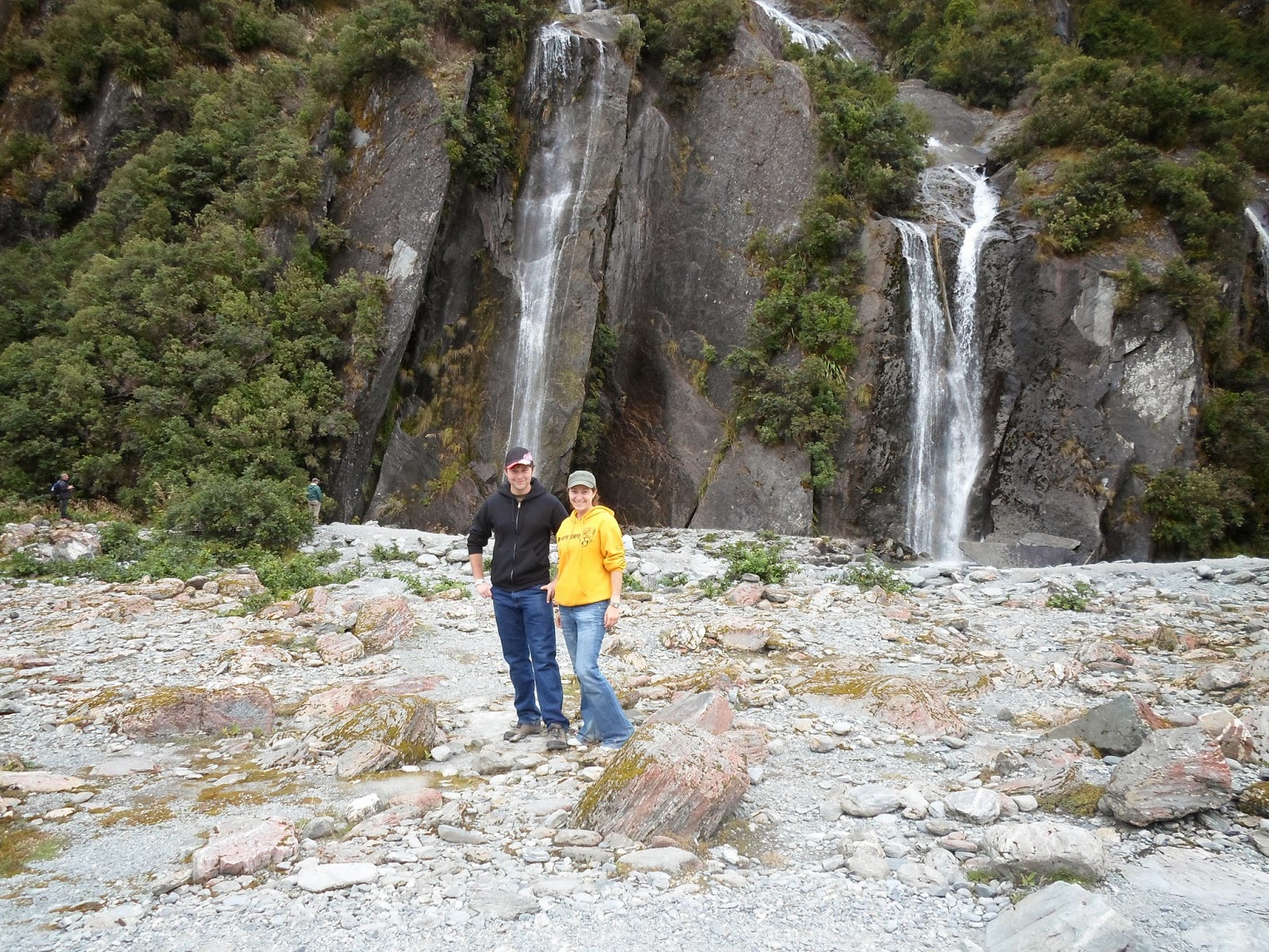 |
| Walking to the glacier |
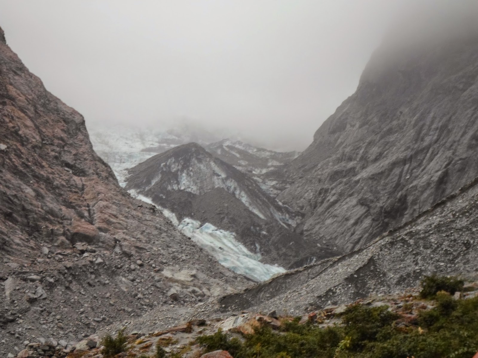 |
| Franz Josef Glacier |

We were a bit behind our planned schedule since we didn't make it as far south as planned on Wednesday, but luckily we didn't actually have serious plans, except for where we were spending each night. So we headed to Wanaka Thursday morning. On the way we stopped at the blue pools, which were similar to the Hokitika gorge, with that gorgeous turquoise water. To get to the pools we walked through a forest that made me think of the woods where Snow White met the dwarves. We also had incredible views of Lake Hawea, which we agreed would have been unfortunate to miss had we driven to Wanaka in the dark the night before. Once we got to Wanaka, we enjoyed exploring a maze at Puzzle World (I must admit little bro had far more patience for that than me, I just wanted to find the way out haha), complete with illusion rooms at a 35 degree angle. After lunch, we headed towards Queenstown. We didn't actually get there because we ended up in Arrowtown instead, which we were quite happy with. It was another gold mining town, but there was a historic Chinese settlement we explored, and a delicious gelato place when we needed to cool off. When we were ready to hit the road again, we drove to Dunedine for the night.
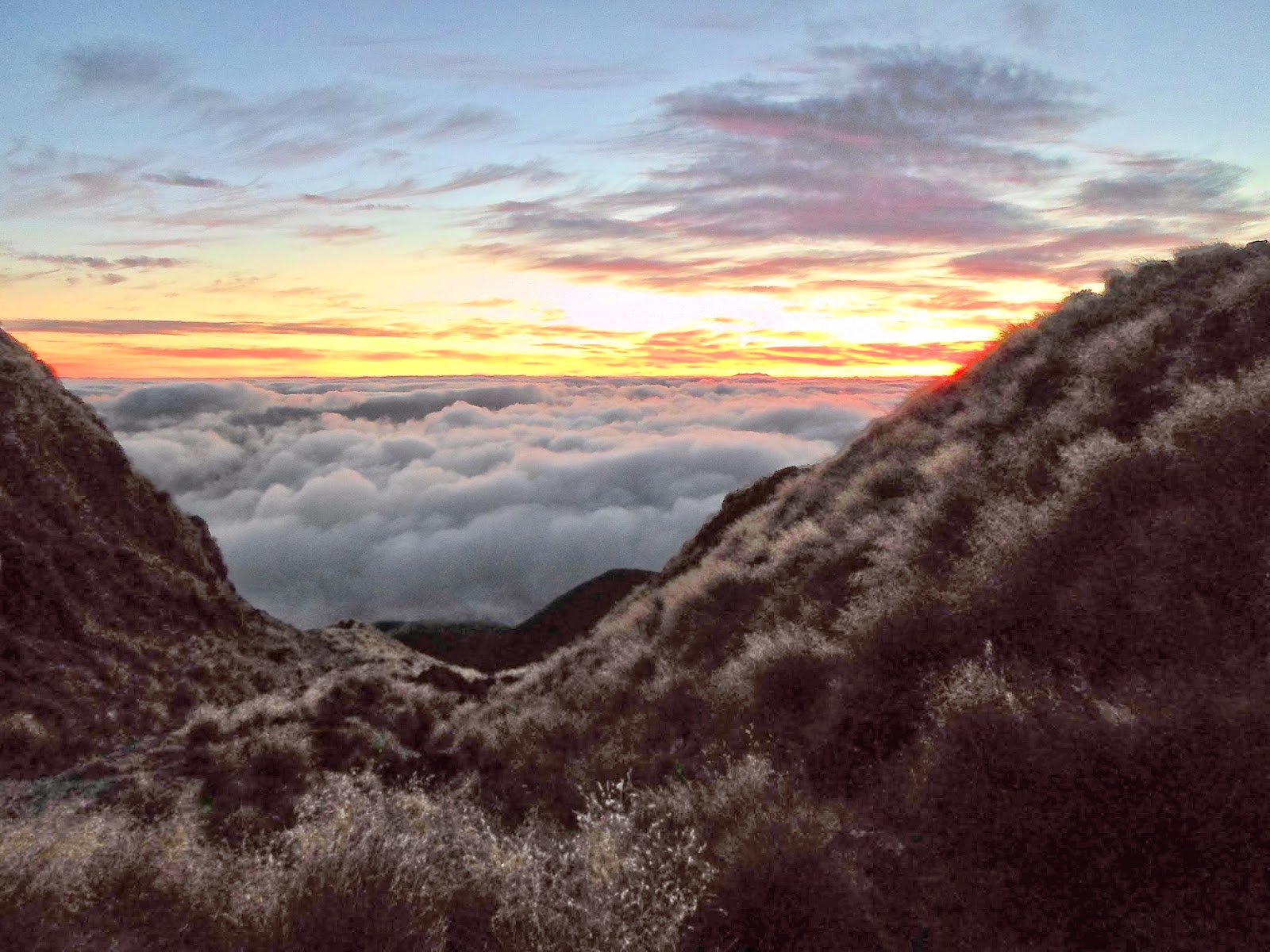
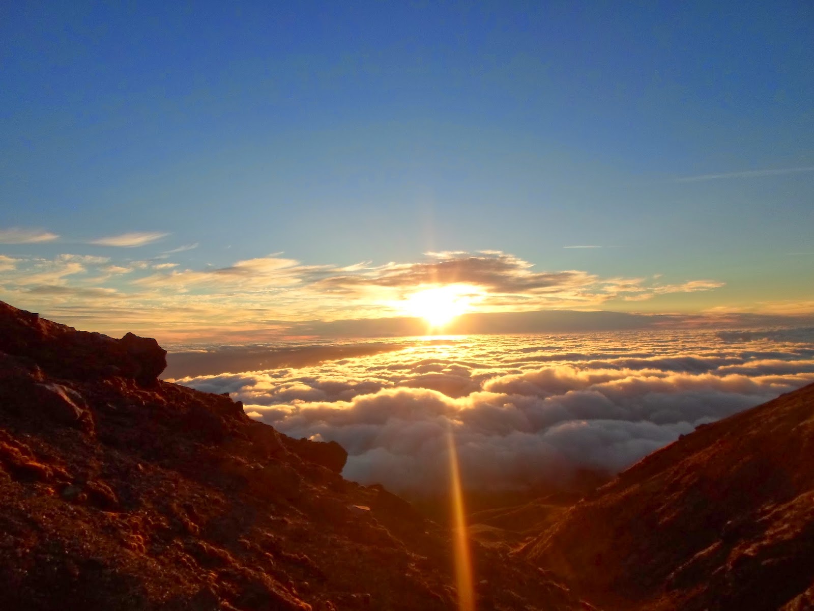
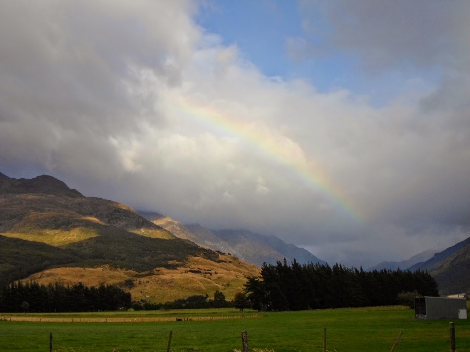 |
| Rainbow after sunrise :) |
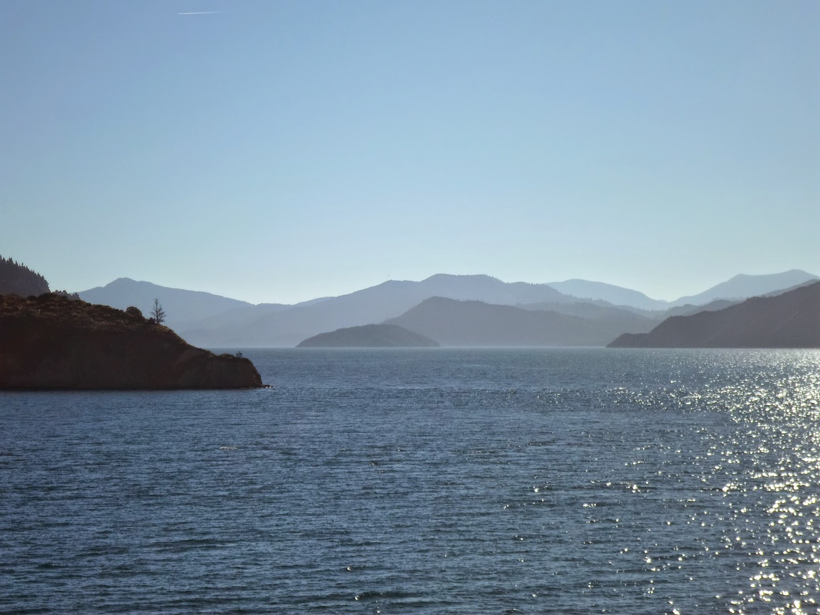
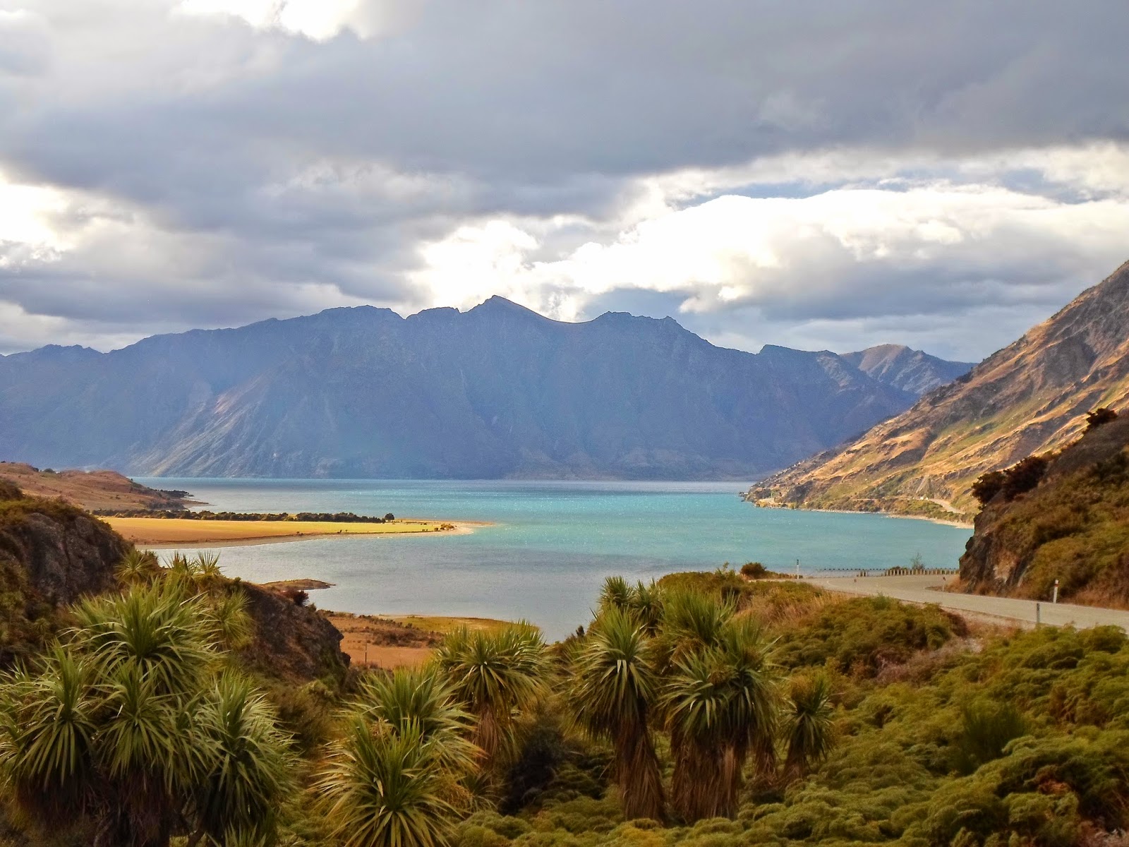 |
| Lake Hawea |
 |
| Puzzle world |
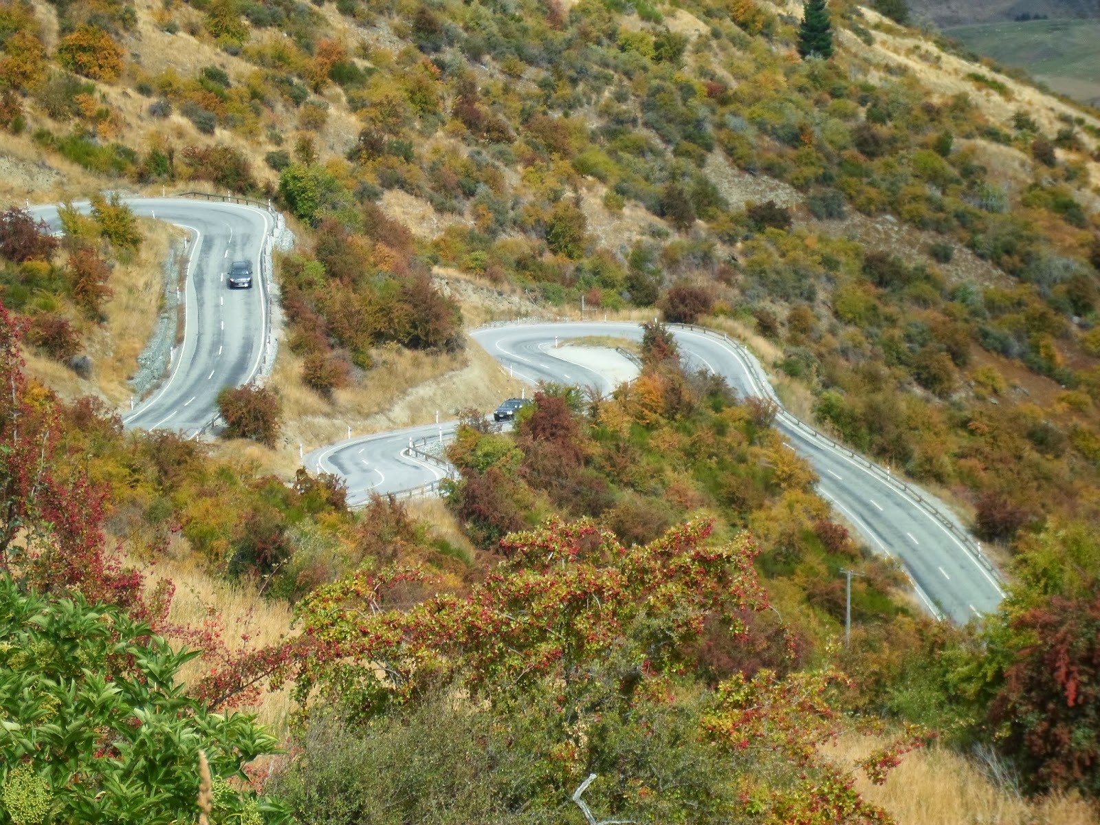 |
| The road to Queenstown |
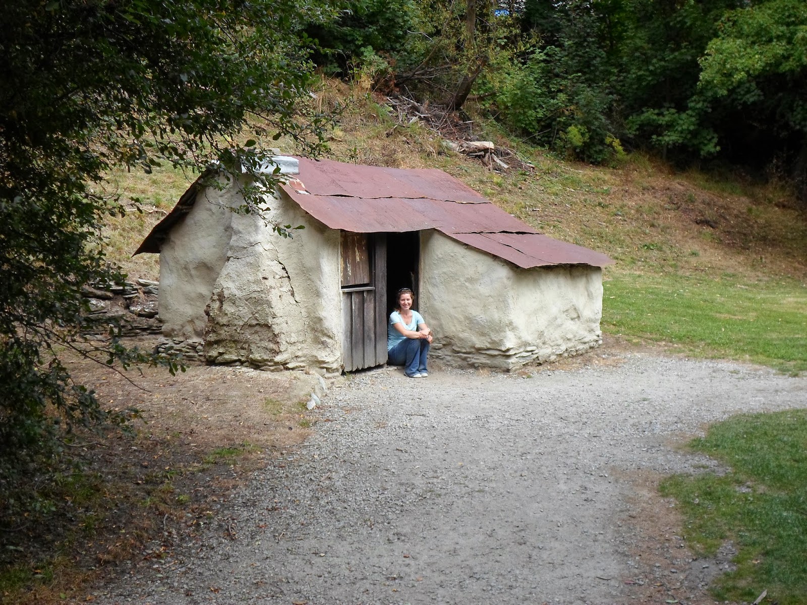 |
| Cabin in the Chinese settlement |
Dunedin was great, one of my favorite days the entire week, although really, it's hard to say what was the best. Our hostel in Dunedin was an old Victorian mansion, absolutely huge and gorgeous, and we had the attic room to ourselves. We walked about downtown a bit, and then went to check out the steepest street in the world, Baldwin Street. We walked up it, but I chose to not drive up, because I was not entirely confident that I had the nerve to drive up something so steep. Every year the local chocolate factory organizes a Jaffa race down the street. Each Jaffa is numbered and they see what number gets to the bottom first! We spent the afternoon exploring the only castle in New Zealand, Larnach Castle.
 |
| Baldwin Street |
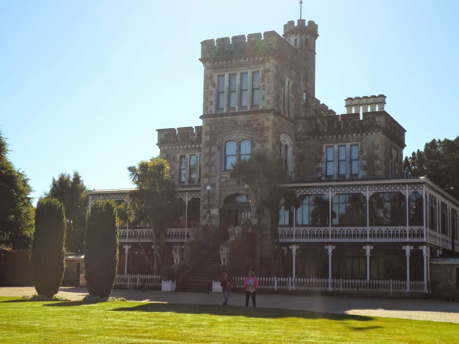 |
| Larnach Castle |
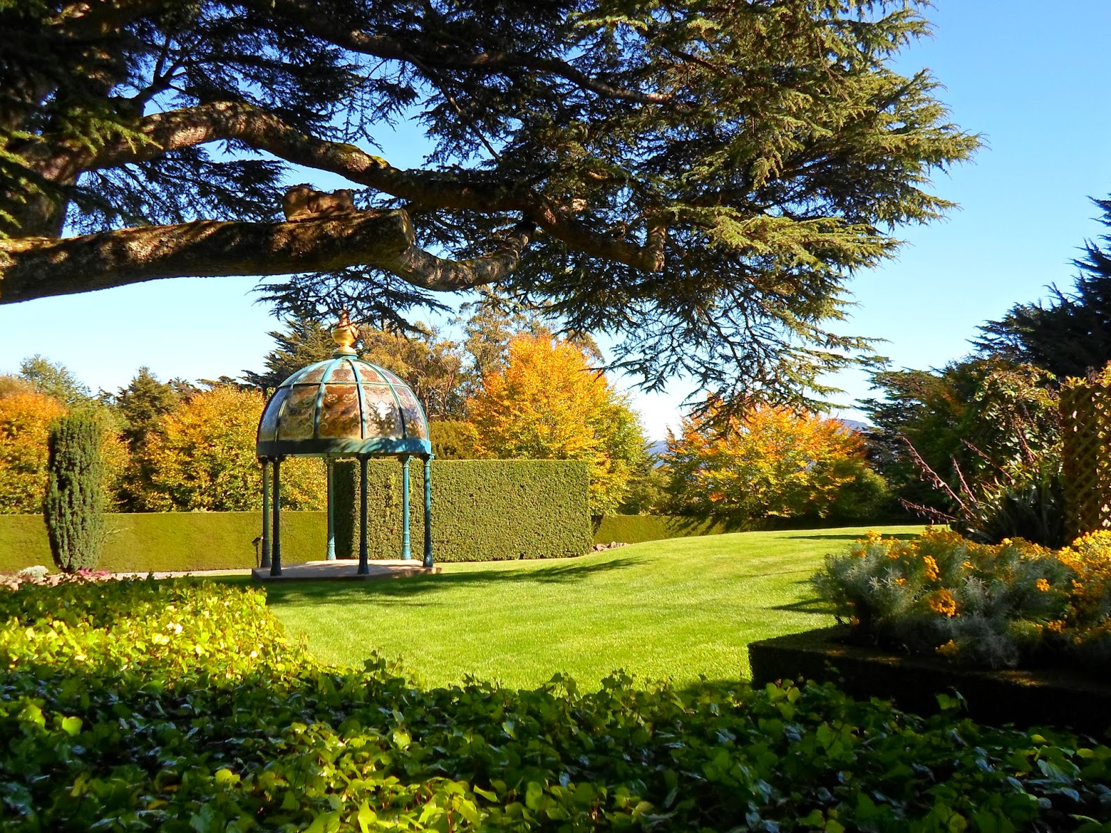 |
| Castle grounds |
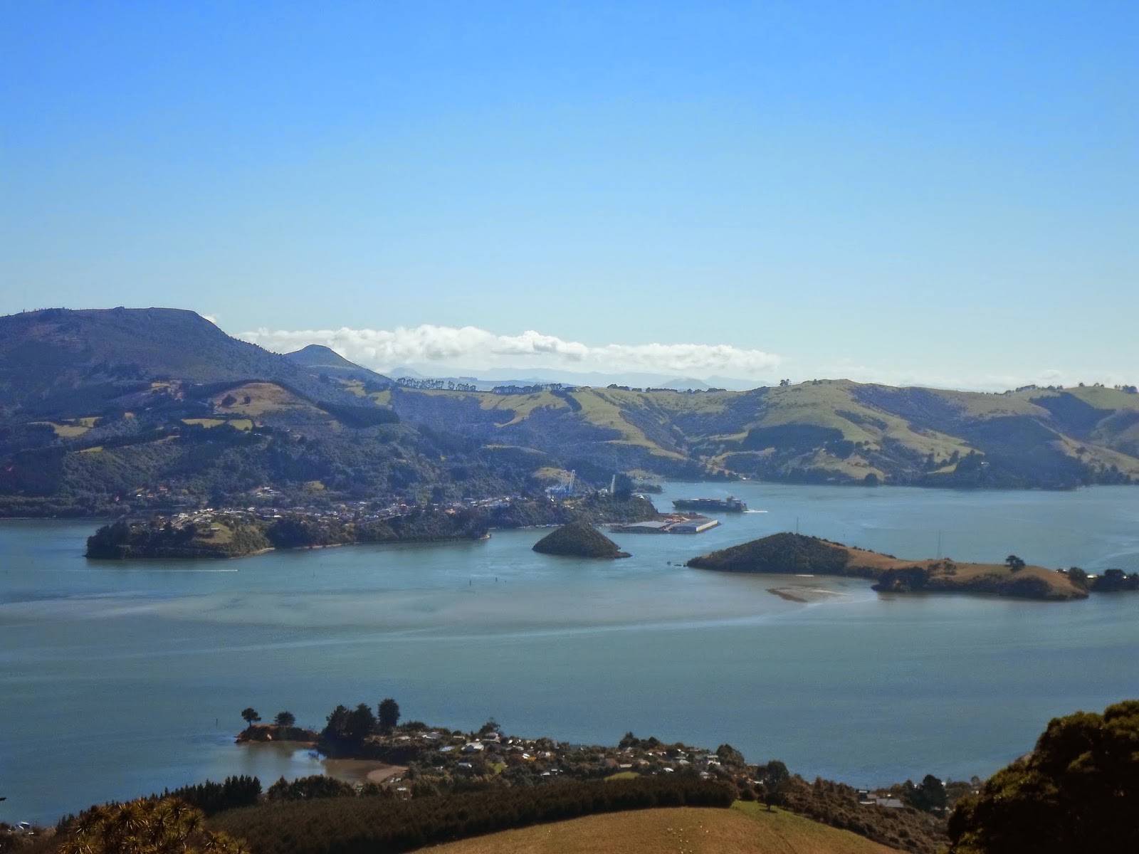 |
| View from the tower |
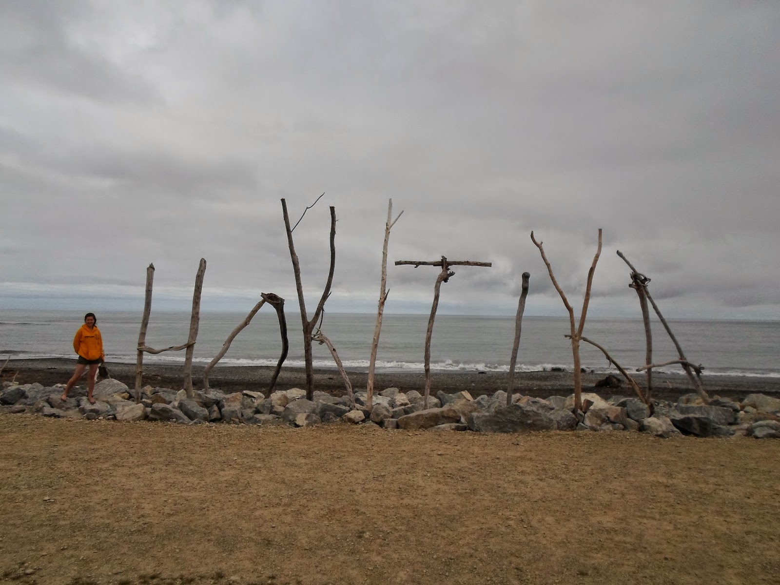
We spent our final night of the roadtrip with some friends in Invercargill, just about as South as you can get, and then took a flight back to New Plymouth. It was a bit windy since there was a big storm moving in, but we made it back safe and sound.
This post was a bit tough to write because there was so much to share and picking what to share is hard when I want to share every bit all at once. I went with an overview so I could share good pictures, maybe I will add some more details later :) In the meantime, I hope you enjoyed the photos!