Saturday, May 28, 2016

Fun Facts

I have been here nearly three years now, which means I have had a bit of time to learn a few interesting facts about New Zealand so I thought I would  share some.


  • If you get pulled over by the police, the officer must be wearing his or her hat when they approach they vehicle. Otherwise, they cannot issue you a ticket.
  • New Zealand really doe shave more sheep than people, with a 10: 1 ration. This comes out to 4 million human residents and 40 million sheep. 
  • Driving rules recently changed. If two cars from opposite directions are at the same intersection, the vehicle turning must yield to the vehicle going straight, even if the turning vehicle arrived first. 
  • The first place in the world where you can watch the sunrise is Gisborne, on the East Coast of the North Island.
  • The longest place name in the world is also found on the East Coast, a hill in Hawkes Bay. I won't even pretend I can pronounce it: Taumatawhakatangihangakoauauotamateaturipukaka-
    pikimaungahoronukupokaiwenuakitanatahu. It means 
    "the place where Tamatea, the man with the big knees, who slid, climbed and swallowed mountains, known as Landeater, played his flute to his loved one."
  • No matter where you are in New Zealand, you cannot be more than 128 kilometers from the ocean, or 79.5 miles.
  • There are no snakes in New Zealand (yay!), or ticks.
  • New Zealand was the first country to give women the right to vote, in 1893. That being said, one of the first women politicians was instructed to not enter the government buildings at the same time as her male counterparts so as to not undermine their authority.
  • The logo for the Royal New Zealand Air Force is the kiwibird, which is flightless. 
  • The beer drunk on camera in the Lord of the Rings films was a New Zealand beer called "Sobering Thought."
  • New Zealand courts have an entire list of illegal names which cannot be given to your child. They include all titles such as Prince/Princess, Queen, etc. This came about when a young girl became a ward of the court to change her original name of Talula Does The Hula From Hawaii.
  • New Zealand has three national languages: English, Maori, and New Zealand Sign Language.
  • Wellington is the Southernmost capital in the world.
Hope you enjoyed :)

Sunday, May 15, 2016

Manny the Mantis

Something I quickly noticed, and found rather odd, is that houses here do not have screens on windows and doors. This means should you want fresh air in your house, you are also inviting nature's delightful little creatures inside when you open windows or doors. We routinely have mosquito eaters, granddaddy longlegs, and other various spiders etc. inside. Nothing that is really a major nuisance, thankfully. But that is probably in part due to there being a lesser number of creepy crawlies on this little island country.

Now, having grown up with pets, I have often wished I could have one. Unfortunately as a renter I have been stuck with a piano and house plants as a substitute. However, it seems nature might have decided to provide.

About two weeks ago, I noticed a praying mantis in the laundry room. I did not think much of it at the time, but over the next few days saw it frequently in the laundry room, or down the hallway, or in the sun room. When cleaning and decorating for Cinco de Mayo, it seemed a good time to let Mr. Mantis return to his real home of the great outdoors, and put him out in the garden. He seemed to disagree however, as a couple of days later he was back, and was hanging out in the sun room right over the record player listening to nice piano music.
The next day he was in the kitchen having a stand off with a spider who eventually gave up and went the other way. A few days later he kept me company during a workout before work. And just a few days ago, when firewood got delivered, he hung out with me outside while I stacked it before it got wet in the rain.
He has been named Manny. We will see how long he sticks around :)

Saturday, May 07, 2016

Te Reo Maori

English, as spoken by the UK with some Kiwi influences, is the national language of New Zealand. The accent is noticeably different, but there is general agreement on vocabulary. But New Zealand also has a second language, which belongs to the indigenous people. Not everyone speaks it, but it is a part of life just the same. Schools and universities offer courses and degrees in the language. Some areas of the country have communities or schools which strictly speak Te Reo. And some words have worked their way into everyday life so that they are used interchangeably with their English counterpart. I have slowly picked up the meaning/understanding of these words, so I thought I would share some today.

Pronunciation notes for when you practice out loud as you read this:
wh = f
au = o(e) [i.e. tau is pronounced toe]
ng = if found together are always pronounced together (I have yet to accomplish this)
vowels are ah, eh, ee, o, u (as in two), they are pronounced the same as Spanish and Japanese vowels)

Counting:
1- tahi
2 - rua
3 - toru
4 - wha
5 - rimu
6 - ono
7 - whitu
8 - waru
9 - iwa
10 - tekau

Family is whanau. This is used widely as it can include close friends or someone who has been adopted into your inner circe.

Pakiha is the term for Europeans, or white people.

waiata - songs
owa - I don't know (that's what it means, I haven't just written a word I am unsure of!)
awa - river
taringa - ear
morena - good morning
iwi - tribe
marae - meeting house
Haere mae - welcome
haka - war dance
kai - food
aroha - love
mana - influence
tapu - sacred
whakapapa - geneaology or heritage (very important in Maori culture)
whenua - homeland or country
waka - canoe
iti - small
nui - large

Kei te pehea koe? How are you?

:)


Monday, May 02, 2016

New Plymouth Anzac Day

Last Monday was ANZAC day, New Zealand and Australia's Memorial Day. As back home, we got a three day weekend, which is always a welcome treat. There were two ANZAC services in town, something I had not yet attended since living here. Since it was a day off, I opted to not wake up in time for the 6am service, but did make it into town for the 10am service.

This year was the 100th anniversary of ANZAC celebrations. It is now 101 years since the New Zealand and Australian troops landed on the shores of Gallipoli during WWI.
The service was held at the Cenotaph, the WWI memorial in town. It is located just off the main street, right on the coast with a nice view.

The crowd was gathered all around, waiting for the parade. The parade was led by the Devon Hotel Brass Band, and was followed by veterans of all ages. Also part of the parade were police officers, boy scouts, current military personnel, and a few other groups, but not sure which so will not list here. Music was led by one of the local choirs.

I suppose in some ways it was similar to Memorial Day services anywhere. But it was a good reminder of the need for peace in our world, and that those who have served and who still serve are loved and missed by someone somewhere in the world.
Before the service

Devon Hotel Brass Band

Veterans parade


End of the parade:


Friday, March 18, 2016

Tongariro Alpine Crossing

Last weekend was Taranaki Anniversary, so we had a long weekend, yay for a Monday off work! The weather was beautiful late summer sunny and warm, and an excellent opportunity to cross something off my NZ to-do list.

So Fri night after work (well afternoon really, because we decided we had worked enough around 1pm), we drove to National Park Village, which is at the base of Mt. Ruapehu. There we organized we organized lunch and transport for the next day and set about mentally preparing for the trek.

The Tongariro Alpine crossing is a 21 kilometer trek which takes you through (as in between) the peaks of Mt. Tongariro and Mt. Ngauruhoe. The trek begins in the Mangatepopo valley which is though to have been carved out by glaciers and then filled in with lava from eruptions (the volcanoes are still active). Towards the base of the ranges where the trek starts to ascend, you get to the soda springs. The water is full of minerals, especially iron oxide.
Sunrise! It was just above freezing but warmed
up quickly

Mt. Ruapehu


Mt. Taongariro

The next part of the climb was I think my least favorite. It was crowded due to the narrowness of the track in relation to the number of people, and it was LOTS of stairs. While in some ways I appreciated the sophistication of the track, I also realized that my legs got tired much faster from walking up stairs as opposed to just an incline. However, it was a beautiful clear day and we could enjoy seeing Mt. Taranaki to the West. Having previously seen Mt. Ruapehu from the top of Mt. Taranaki, it was cool to reverse the view :)
Mt. Taranaki


Once we got past all the stairs, the terrain flattened out a bit due to a lake, which is currently nearly dried up. It was a fun stop though because I got to see where Troway spent a week camped out in the snow during a high school adventure trip.
Semi-dried up lake


The next leg of the climb was the steepest and had some sections which required single file climbing. Portions of it were narrowly along a rock ledge with a chain to hold onto. Probably not so extreme for a serious climber, but extreme enough for someone who grew up with no mountains to climb!


Mt. Tongariro


From there, we climbed to the highest point of the trek (1886 meters or 6,187 feet) to a gorgeous view of the Red Crater and our first glimpse of the Blue and Emerald Lakes. Its color comes from oxidation of iron in the rock, according to the Dept. of Conservation information page.


Lava formations


The next challenge was to descend to the Emerald Lakes. The color is these lakes is also caused by minerals. Despite the steaming areas around the lakes, the water stays cold enough to freeze in winter. The Maori call these lakes Ngarotopounamu (greenstone-hued).


Another 20-30 minutes of undulating terrain took us to the Blue Lake, which was a good halfway-ish point to have lunch. The Maori call this lake Te Wai-whakaata-o-te-Rangihiroa, or Rangihiroa's mirror. Te Rangihiroa was a local chiefs son who was said to be an early explorer of the volcanoes. His sister was named Te Maari, after whom another crater is named.


The next leg of our trek was winding along the edge or the ranges. The last two-ish hours was through the Alpine slopes at a constant descent, with the final section through a hardwood forest to the lot where the buses come back to collect you at the end of the trek.

Big pumice stone :)

Bigger pumice stone!

Steaming mountain


We managed to complete the entire trek in 6 hours, which was quicker than we had anticipated. We were tired at the end, but it was definitely worth it and I would enjoy doing the trek again, especially to explore some of the side treks which we did not take time to see this trip.

Headed home to meet my niece next week!

Thursday, March 10, 2016

Bridge to Nowhere

Tuesday and Wednesday last week were not your normal 9-5 in the office day at work. I was off with half of my department for a team building field trip. Since we unfortunately did not have the luxury of completely stopping business for two days, the other half are off for their adventures this week.

At 6 am on Tuesday we boarded a bus and began the 4 hour journey to Pipiriki. It was a relatively quiet bus ride due to the early start. Once we got to Pipiriki we boarded jet boats for a 30km ride upriver to the lodge where we would stay the night. The lodge was perched on top of a hill with a gorgeous view overlooking the river. It is a homestead type of place, with chickens, super cute dogs, and power only from a generator run during the day.


The lodge had lunch waiting for us, so we enjoyed the view out on the deck while filling up on enough energy for the afternoon activities.


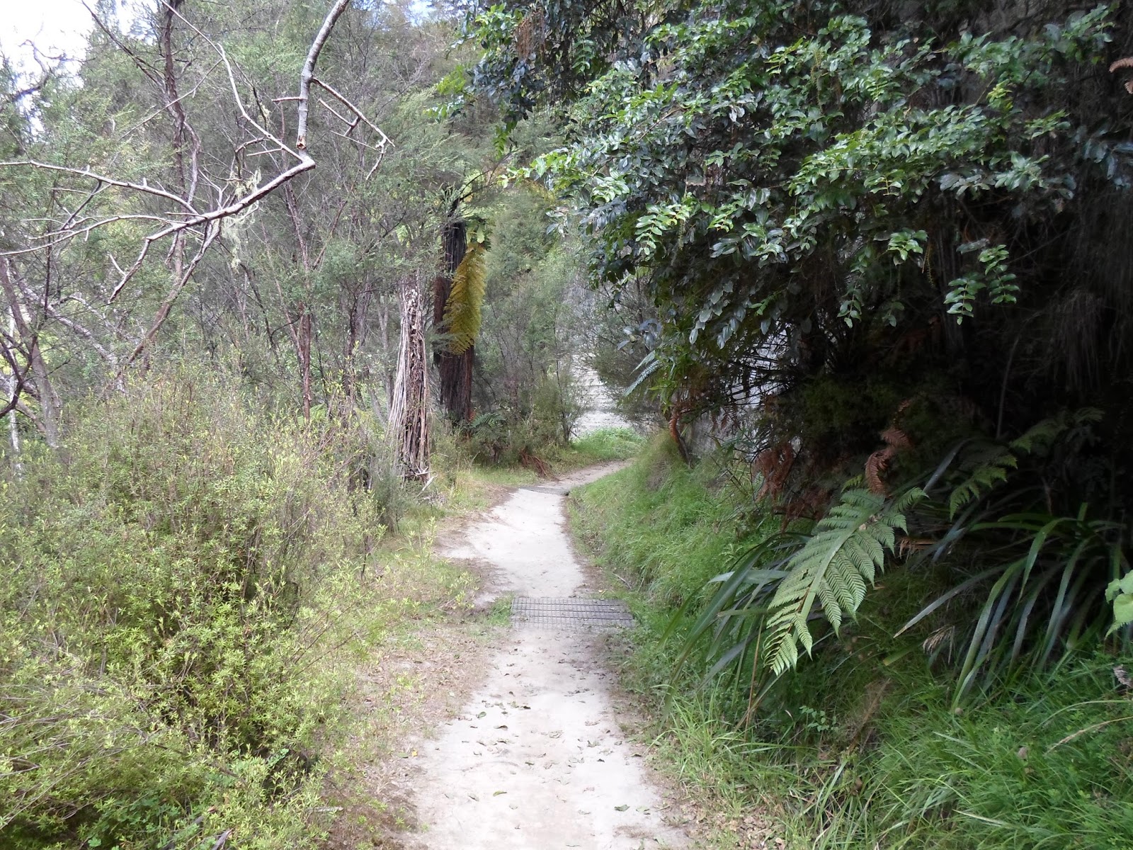
Once we’d settled in a bit and finished lunch, we boarded the jet boats again to head a bit further up river to the Mangapurua for the hike to the Bridge to Nowhere. It was about a 45 min hike along a good trail through the bush. We got to cross a swing bridge close to our destination. The Bridge to Nowhere was over a canyon, pretty well in the middle of nowhere (not to be too punny). We were fortunate to have one of the lodge staff along with us who shared quite a lot of history about the bridge, and had photos from when it was first put up, as well as some of the area around the bridge’s location.


From one of the abandoned homesteads

Once we had our fill of bridges and hiking we headed back to the lodge for some work-type discussions with the managers, with positive updates on things to expect in the next couple of years. We then had dinner and the evening to relax and enjoy the good company.

The next morning after breakfast we headed home. This meant we got to enjoy the river scenery again on the 30km ride back to Pipiriki to get our bus. The Wanganui river is gorgeous, with sections of it running between cliffs on both sides. Canoeing a portion of it is definitely on my NZ to-do list now J

A bit of info on the Bridge to Nowhere:
Soldiers returning from World War I were offered land in the Mangapurua and Kaiwhakauka valleys as a government project to help them and their families settle. The idea seemed to be that it would allow them to have their own land, while also developing an untouched part of the country. One major obstacle was reliable road access. As part of a project to improve this, a swing bridge was built over the Mangapurua Streatm in 1919. However, it was not terribly sturdy or reliable or so in the 1930s work began to build the concrete bridge currently in existence. It was meant to be part of a road from Raetihi to Taranaki, which would have greatly improved the access for this area.

At the settlements peak there were a total of 46 farms. However, by 1942 only three of those remained. There were many hardships, including erosion, flooding, and economic hardship from the depression. The area is now called the “valley of abandoned dreams” and the bridge to nowhere is used more in modern days than it was first built for everyday purposes.  


What is left of the original swing bridge